| Accuracy & Resolution | |
|---|
| 3D point accuracy | 1.9 mm @ 10 m
2.9 mm @ 20 m
5.3 mm @ 40 m |
| Angular Accuracy | 18″ (0.87 mm @ 10 m) |
| Range Accuracy | 1.0 mm + 10 ppm |
| Resolution | 3 user selectable settings:
3 / 6 / 12 mm @ 10 m |
| Range Noise | 0.4 mm @ 10 m
0.5 mm @ 20 m |
| Field Of View & Range | |
|---|
| Field Of View | 360° (horizontal) / 300° (vertical)
|
| Range | 0.5 — 130 m |
| Speed | |
|---|
| 3D Capture Rate | Up to 2,000,000 pts/sec |
| Scanning time without texture @ 10 m | 1.7 min @ 3mm resolution
0.85 min @ 6mm resolution
0.4 min @ 12mm resolution |
| Scanning time with texture @ 10 m | 2.7 min @ 3mm resolution
1.9 min @ 6mm resolution
1.4 min @ 12 mm resolution |
| Colour Capture | |
|---|
| Camera | 36 MP 3-camera system captures 432 MPx raw data for calibrated 360° × 300°
spherical image |
| HDR | Automatic, 5 brackets |
| Operation | |
|---|
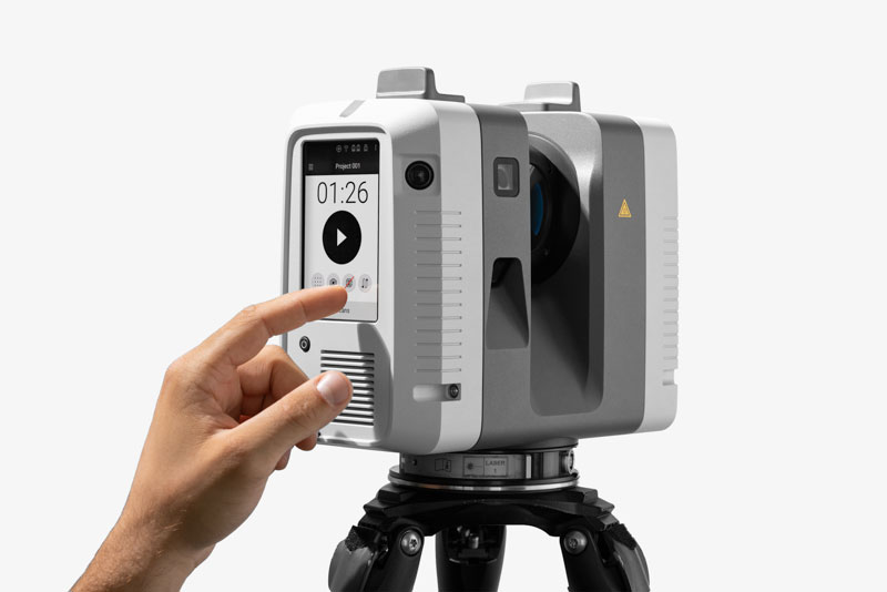
| On Scanner | Touchscreen control with finger touch, full color WVGA graphic display
480 × 800 pixels |
| Mobile | Artec Remote app for iOS and Android tablets and smartphones including:
• Remote control of scan functions
• Settings selection
• Launch scanning |
| Algorithms | |
|---|
| Real time registration | Automatic point cloud alignment based on real time tracking of scanner movement
between setups based on Visual Inertial System (VIS) by video enhanced inertial
measurement unit |
| Automatic Removal of Moving Objects | Delete captured data of moving objects using Double Scan |
| Check And Adjust | Field procedure for targetless checking
of angular parameters |
| Navigation Sensors | |
|---|
| Visual Inertial Systems | Video enhanced inertial measuring system to track movement of the scanner
position relative to the previous setup in real time |
| Tilt | IMU based, Accuracy: 18″ (for upright
and upside down setups with +/- 10° inclination) |
| Geolocation Sensors | Altimeter, Compass, Global Navigation Satellite System |
| Interfaces | |
|---|
| Wireless | Integrated wireless LAN (802.11 b/g/n) |
| Data Storage | Leica MS256, 256 GB exchangeable USB 3.0 flash drive |
| Hardware Specifications | |
|---|
| Scanning Technology | Time of flight enhanced by Waveform Digitising (WFD) technology |
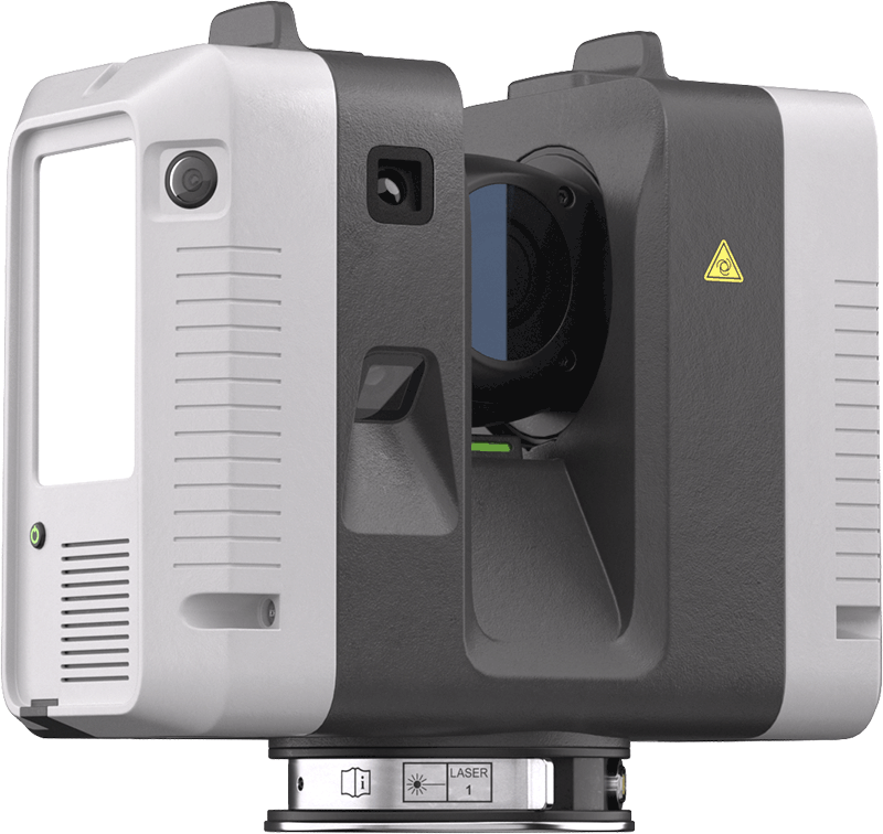
| Laser Class | 1 (in accordance with IEC 60825-1:2014), 1550 nm (invisible) |
| Dimensions | 120 mm × 240 mm × 230 mm / 4.7″ × 9.4″ × 9.1″ |
| Weight | 5.35 kg / 11.7 lbs, nominal (without batteries) |
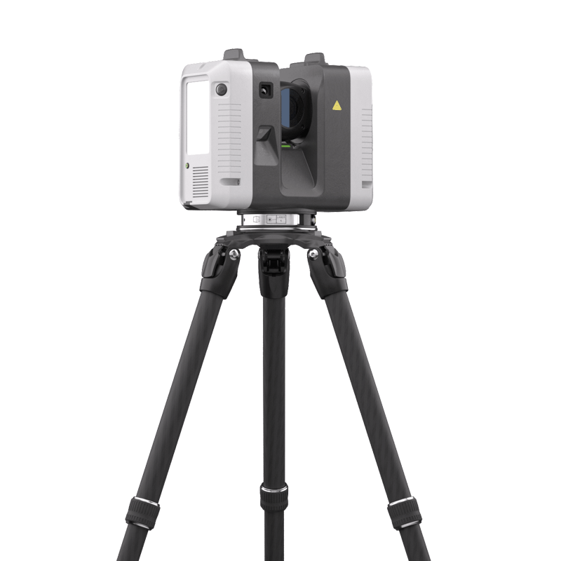
| Mounting Mechanism | Quick mounting on 5/8″ stub on lightweight carbon tripod or tripod adapter |
| Power | |
|---|
| Internal Battery | 2 × Leica GEB364 internal, rechargeable Li-Ion batteries
Duration: Typically up to 4 hours
Weight: 340 gr. per battery |
| External | Leica GEV282 AC adapter |
| Environmental | |
|---|
| Operating Temperature | -5° to +40°C |
| Storage Temperature | -5° to +70°C |
| Operating Low Temperature | -10° to +40°C |
| Dust/Humidity | Solid particle/liquid ingress protection IP54 (IEC 60529) |
| Certification | |
|---|
| Accredited calibration certificates | Calibration certificates provided by Leica Geosystems’ Accredited Calibration
Laboratories for distances and angles. The accreditation (SCS 079) is in
accordance with the standard ISO/IEC 17025 and is granted by the Swiss
Accreditation Service (SAS), member of ILAC (International Laboratory
Accreditation Cooperation). |
| All accuracy specifications are on a level of confidence of 68% according
to the Guide of the Expression of Uncertainty in Measurement (JCGM100:2008)
unless otherwise noted. |
